B Street NW and the Edge of Town

For the first set of pictures of my little town, I went to the end of town. B Street NW starts at the north edge of Auburn, where farms end and warehouses begin, and runs to the middle of town. Well sort of. There is a couple block stretch where B Street becomes A Street, but that is a little matter.

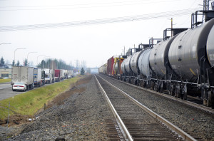
B Street borders the BNSF railroad tracks for most of its run. There are literally hundreds of businesses big and small along the roadway. But most people who live in Auburn seldom travel this road, if at all. I decided to start at the north end of the street and head south.

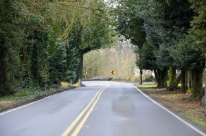
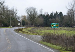
B Street starts at 277th. That is where the northern border of Auburn is. Looking north you can see bucolic farmland and a country road. Gray skies took a lot of the color out of the scenery, but what can you expect in early winter?
B Street 24B Street 33
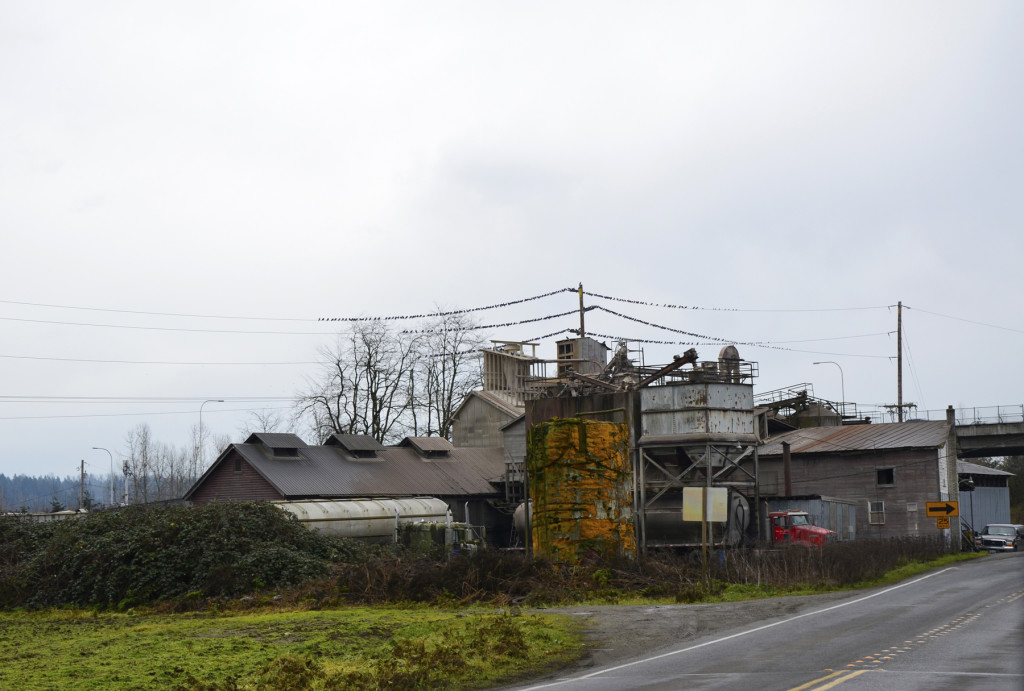
Just outside the edge of town is a seed company. The power lines around the building are covered with birds waiting for a few wayward seeds to fall.
B Street 30

Go less than a block from this farmland and you are in the city limits of Auburn. The overpass behind the White River Seed Company is the border. The scenery immediately changes. Signs that warned of cows and tractors are replaced with trucks and more trucks.
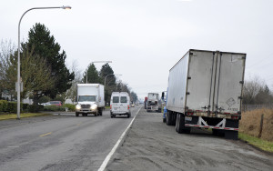
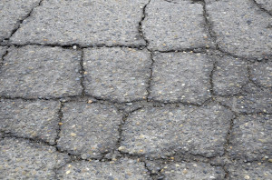
B Street 02 The road has been reduced to pre-potholes from the heavy traffic.
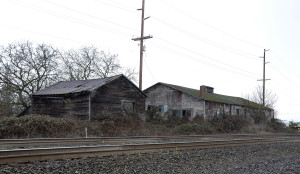
B Street 03I was looking for something with color on a really gray day. These two buildings across the tracks have seen better days. Gray-brown buildings against gray and brown tracks and rocks reflecting the gray skies. I will have to come back to this spot when the skies are blue and the trees are green… I was beginning to think that I was developing a theme based on the color “blah” this trip.

B Street 14

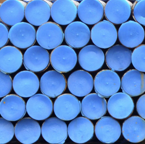
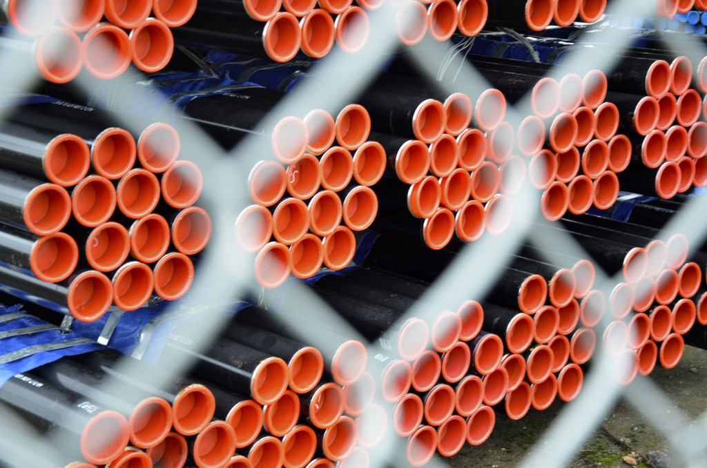
Then I saw what I was looking for, color! And patterns too! Metal rods and pipe stacked up and bundled.
B Street 08a
A chain link fence blocked access to the pipe, but when I moved the camera back a bit and changed the focal length and plane I made the fence seem almost transparent.
B Street 07
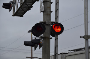
Not a bad beginning for my first field trip. Next trip will be the rest of B Street. I will start looking for the strange and picturesque next outing. But now it is time to head home. Oh yeah, Did I mention train tracks? When I lived on an island I waited for ferries. When you live in Auburn you tend to wait for trains.
B Street 05B Street 04

Staring straight ahead at the train as it goes by does not make the train go by faster…
B Street 06

argus c3 bug

Comments

Leave a Reply

Your email address will not be published. Required fields are marked *

This site uses Akismet to reduce spam. Learn how your comment data is processed.

The Great Escarpment goes from the northeast of South Africa and swings in a wide semicircle down to the south and then back to the northwest corner of the country.  It separates the high central plateau of South Africa from the coastal areas.

Wikipedia has a great image of this.

The Highveld is basically between 5,000 and 6,800 feet in elevation and is part of the central plateau in South Africa. The Lowveld is lower than about 500 meters (1,650 feet). It is basically to the east and northeast of the central plateau. And yes, if you are wondering, there is a middleveld. It is more often referred to as the Bushveld.

The Highveld is basically between 5,000 and 6,800 feet in elevation and is part of the central plateau in South Africa. The Lowveld is lower than about 500 meters (1,650 feet). It is basically to the east and northeast of the central plateau. And yes, if you are wondering, there is a middleveld. It is more often referred to as the Bushveld.

While the highveld is more like a prairie of grasses and the lowveld is grassland with scrubby brush and occasional trees, the bushveld is, amazingly, kind of between them. The bushveld is grassy lands with lots of patches of tall bushes and trees.

At least that is how I would describe them.

Daylin Paul is a fantastic photographer. A collection of his images is called Broken Land. From the October 6, 2019, Sunday Times:
“…the collection begins with aerial photographs of the seemingly legendary natural beauty of the province before Paul’s lens zooms ever closer in for a look at the realities on the ground.
“There pollution is rampant; those who are not lucky enough to find employment in the power industry are forced into dangerous subsistence mining for survival and many residents of towns and informal settlements that abut the power stations are without a proper water or electricity supply and suffer from diseases such as TB.”
Paul is quoted in the article as saying that the connection the indigenous people had to the land is broken. “Now the land is just a place where you put up a house or you dig for something.”
The article continues a bit later with this statement: “When Paul hears US President Donald Trump talking about ‘clean coal’, his experiences in Mpumalanga lead him to react with disdain and outrage because ‘there’s no such thing’.”
The whole article, and its images, was simply stunning. You can read it here, but you must be a subscriber to the paper first.
But better yet, you can see Paul’s own website to see the collection of images called Broken Land here: https://www.daylinpaul.com/broken-land

I had heard from people about the issues with the power industry in South Africa, but didn’t know how severe it was. As one person related to me, “the president has taken a lot of money from the coal power industry. The bribes were there to keep the industry free from too many regulations.” Or as one watchdog group there says, “Public procurement is particularly prone to corruption, and bribery thrives at the central government level.”

I am talking about South Africa, of course. I know nothing like that happens in the States.

Follow

Get every new post on this blog delivered to your Inbox.

Join other followers: